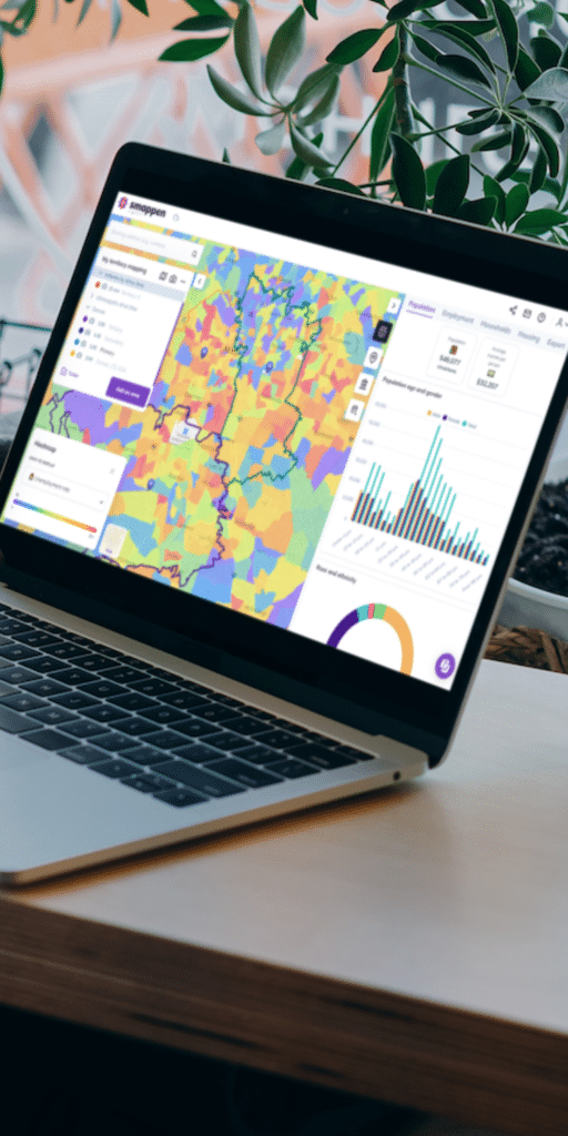
Tired of losing time?

The quickest and easiest territory mapping software that you’ve ever had 🤠

Make smart decisions using data-driven reports to design territories and analyze your market. This all-in-one online platform helps you choose the best location by providing detailed demographics and competitor analysis.

  • Intuitive and
    easy-to-use

    Instant reports and time-saver

    Real people,
    quick support

    Reliable and
    up-to-date data

    Visualize and export demographics

    Search for businesses, places and competitors

    0 +
    happy customers
    0 millions
    of businesses & places in our database
    0 +
    active users

    Try Smappen now

    Conduct market analysis for site selection

    Step right up to the future of location scouting with Smappen! Our cutting-edge technology is your ticket to unlock the secrets of site potential. Wave goodbye to guesswork as you use our solution to weigh the prospects of new sites, benchmark them against your current stars, and pinpoint the next big market boom. 

    Define your franchise or sales territories

    Smappen fine-tunes your franchise territory planning, ensuring you hit the sweet spot in sizing and performance. With sharp demographic insights and solid expansion strategy, you’ll draw franchisees like a magnet.

    Optimize your logistics and cut costs

    Wave hello to a crystal-clear view of your operational landscape! Effortlessly map out and manage territories, ensuring optimal resource allocation and maximum efficiency. Witness as Smappen sharpens route planning to speed up deliveries and slash costs, all with pinpoint accuracy for smoother operations.

    Drive your local marketing strategies

    Slice and dice your customer data by demographics, tastes, and habits to craft messages that resonate and campaigns that click. Ready for a marketing mission that’s not just a shot in the dark? 

    Drive-Time Map

    Smappen is a map that shows you where you can travel to in a given amount of time or by covering a certain distance (isoline routing).

    Depending on the mode of transport chosen, smappen takes into account several criteria (speed limit on each type of road (city, countryside, highway, etc.), public transport timetables, cycle paths, etc.) and sets the maximum area that you can reach when travelling over the specified distance or for the specified length of time.

    Travel-time maps are also called isochrones.

    Start using smappen now

  • A driving radius map is a powerful tool for businesses and individuals alike. It provides a visual representation of how far you can travel within a certain time frame or distance from a specific location. Whether you’re a business owner looking to target a specific market or a traveler planning your next adventure, a driving radius map can help you make informed decisions. Learn how to create and utilize driving radius maps to enhance your planning and decision-making.

    Creating a custom driving radius map is easier than you might think. With the right tools and a few simple steps, you can design a map that suits your unique needs.

    To create a custom driving radius map, you can use the Smappen app. Here are the steps:

    1. Open the Smappen app.
    2. Enter your starting location (this can be an address or coordinates).
    3. Select the Distance mode.
    4. Input your chosen distance.
    5. Click on the “As-the-crow-flies” mode.
    6. Click on “Calculate”.

    Smappen will then automatically calculate and draw a radius map based on driving distance around the specified address. 

    You can also choose any other mode transportation.

    For businesses, knowing your target audience’s geographic reach is crucial. A driving radius map can be a game-changer when it comes to location-based marketing strategies. This article explores how you can use driving radius maps to target the right customers, plan advertising campaigns, and optimize your business’s marketing efforts.

    Are you an adventurous traveler looking to plan your next road trip? A driving radius map is a valuable tool to help you make the most of your journey. Find out how to use this tool to discover new destinations, estimate travel times, and create a travel itinerary that matches your preferences. Explore the world with confidence and enjoy your road trips to the fullest with the help of a driving radius map.

    Whether you’re searching for a new home or investment property, a driving radius map can provide critical insights. This article delves into how you can use a driving radius map to assess the proximity of essential amenities, schools, and other factors that matter to you. Make more informed real estate decisions and find the perfect location that meets your lifestyle and investment goals.